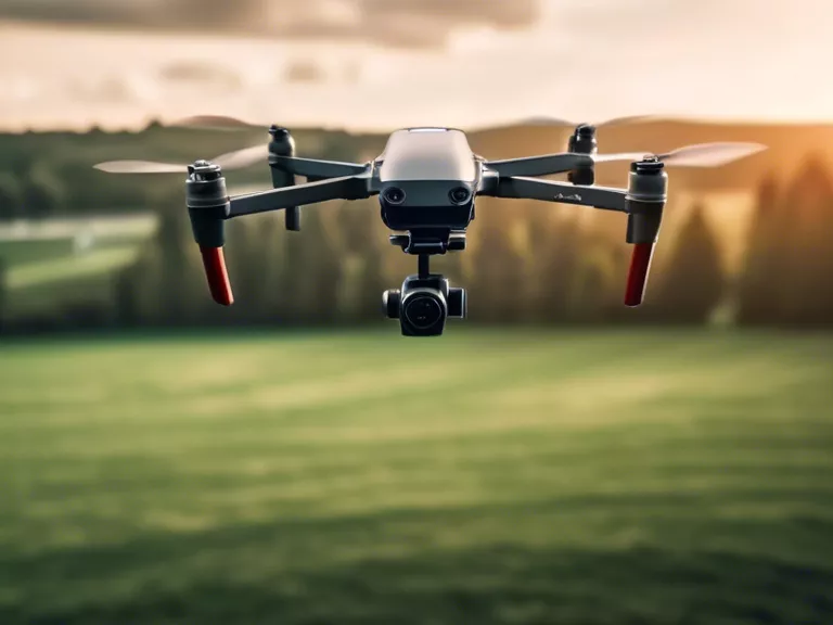
With the advancement of technology, drones have revolutionized the field of archaeology by providing researchers with a new tool for aerial site mapping. Drones offer a unique perspective that was previously unavailable, allowing for more precise and efficient data collection. This article explores how drones are advancing archaeological discoveries through aerial site mapping.
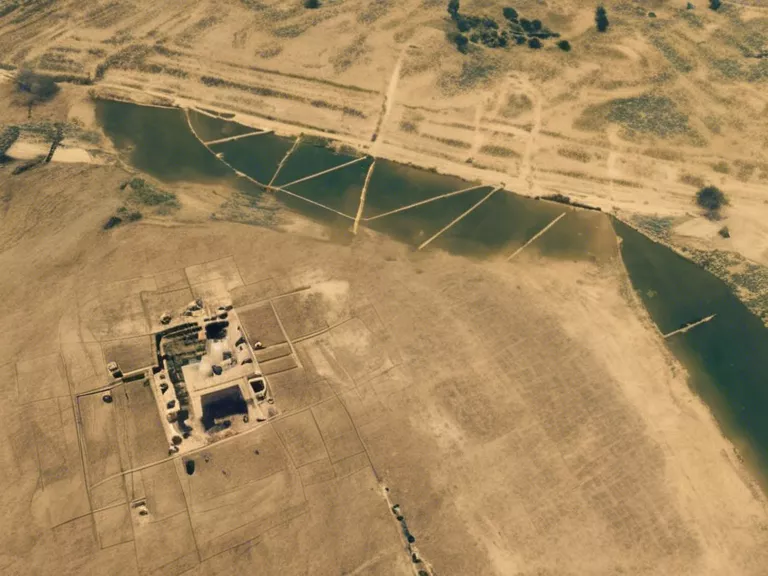
One of the major advantages of using drones for archaeological site mapping is the ability to capture high-resolution images and videos from above. This aerial perspective provides researchers with detailed views of a site that were previously difficult to obtain. By using drones, archaeologists can create accurate 3D models of sites, which help to better understand the layout and terrain of the area.
In addition to capturing detailed images, drones are also equipped with various sensors that can collect valuable data about the site. For example, infrared sensors can identify differences in soil composition, while thermal sensors can detect buried structures or features that are not visible to the naked eye. This data can provide archaeologists with valuable information about the site's history and help them make informed decisions about excavation strategies.
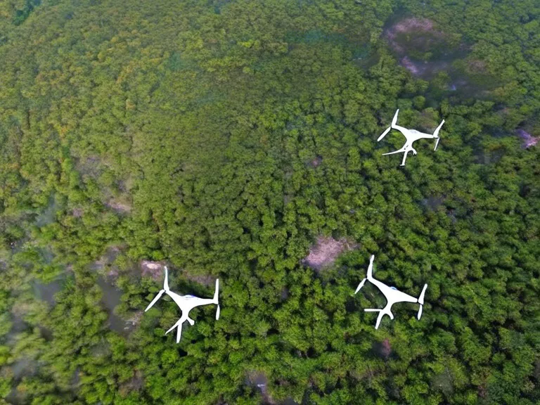
Furthermore, drones allow archaeologists to survey large areas of land quickly and efficiently. Traditional survey methods, such as walking or using satellite images, can be time-consuming and labor-intensive. Drones, on the other hand, can cover large distances in a short amount of time, making it easier to identify potential sites for further investigation.
Overall, drones are revolutionizing how archaeological discoveries are made by providing researchers with a new way to map and survey sites from above. With their high-resolution imaging capabilities, data collection sensors, and efficiency in surveying large areas, drones are helping archaeologists uncover new insights into the past.